 |
So Many Places To Visit!
|
----------- |

Guatemala Related Articles: |
GUATEMALA -- CULTURAL SITE -----------------96[ARTICLE] | |||
Guatemala CityBy Estefanía Muriel for Ruta Pantera on 9/9/2026 8:38:24 PM |
||||
|
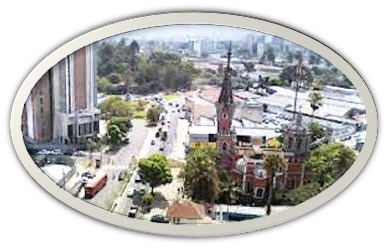
Guatemala City sits in the highlands at more than 1,400 meters above sea level, surrounded by volcanoes and built over a landscape that has been inhabited for centuries. The modern capital was established in the Valley of the Hermitage in 1776 after earthquakes severely damaged Antigua Guatemala, then the colonial capital. Its official name became La Nueva Guatemala de la Asunción. Today, the city is Guatemala's political and economic center, but beneath its traffic and modern districts are layers of Maya history, colonial power, migration, earthquakes, and rapid urban growth. A Capital With More Than One History The easiest mistake is to think Guatemala City begins with the Spanish colonial period. In Zone 7, the archaeological site of Kaminaljuyú preserves the remains of a major Maya settlement that flourished centuries before the modern capital existed. Its presence changes the way the city is read: Guatemala City was not built on an empty landscape, but over an older cultural world whose traces remain beneath the contemporary metropolis. The Historic Center in Zone 1 tells a different part of the story. Around Constitution Square are the Metropolitan Cathedral, the National Palace of Culture, the Central Market, historic churches, government buildings, and streets where Guatemala's political history unfolded. The adjacent Civic Center adds another layer, with monumental buildings and large modernist murals from the mid-20th century. INGUAT organizes these areas into historical routes that connect the city's colonial, republican, modern, and civic architecture. |
||||

|
Look Beyond the Historic Center Guatemala City changes dramatically from zone to zone. Zone 4, particularly Cuatro Grados Norte, has become one of the city's cultural and creative districts, with pedestrian streets, restaurants, galleries, theaters, and cultural spaces. Zone 10, known as Zona Viva, is the contemporary commercial and nightlife center, while Zone 13 concentrates several important museums around La Aurora, including the National Museum of Archaeology and Ethnology and the National Museum of Modern Art Carlos Mérida. For a deeper look at Guatemala's Indigenous cultures, the Ixchel Museum of Indigenous Textiles and Clothing and the Popol Vuh Museum are particularly valuable. Together, they help explain why textiles, mythology, ceramics, sculpture, and traditional dress remain living parts of Guatemalan identity rather than simply museum pieces. |
|||
 Add this article to your favorites
[FOR MEMBERS ONLY]
Add this article to your favorites
[FOR MEMBERS ONLY]
Copy this link to send this article to a friend: [FOR MEMBERS ONLY] |
||||

|
The City in Its Food and Festivals Guatemala City's food scene reflects the country's regional diversity. Traditional dishes such as pepian, kak'ik, tamales, chuchitos, and rellenitos sit alongside contemporary restaurants and international cuisine. The city's markets are often a better introduction to everyday food culture than its polished dining districts. The calendar also reveals another side of the capital. Holy Week fills the streets with processions, incense, music, and elaborate carpets made from colored sawdust, flowers, and other materials. Guatemala's Holy Week was inscribed on UNESCO's Representative List of the Intangible Cultural Heritage of Humanity in 2022. In August, the city celebrates the Feast of the Virgin of the Assumption, its patronal celebration, bringing religious activities and traditional festivities to the capital. |
|||
| A City Built for Exploring in Layers Rather than trying to see everything in one day, Guatemala City works better as a series of districts. Start in Zone 1 with Constitution Square, the National Palace, Cathedral, Central Market, and nearby historic streets. Continue toward the Civic Center, then explore the museums and cultural spaces farther south. If archaeology interests you, make time for Kaminaljuyú; if contemporary culture is the priority, spend an afternoon around Cuatro Grados Norte. The city's official historical route also connects many of these places through public transportation and walking circuits. Getting There and Getting Around La Aurora International Airport is the country's principal international gateway and lies within the metropolitan area. From the airport, travelers can use authorized taxis or established app-based transportation. The city also has the Transmetro rapid bus system, which is useful on several major corridors, although travelers unfamiliar with the capital should plan routes in advance rather than relying on walking between distant zones. The highland climate is one of Guatemala City's advantages. Temperatures are generally moderate rather than tropical, although mornings, evenings, rain, and elevation can make conditions change quickly. A light jacket, comfortable shoes, sunscreen, and rain protection are useful throughout the year. |
||||
| Travel Smart Guatemala City is a large Latin American capital with very different conditions from one neighborhood to another. Visitors should use established transportation, keep valuables discreet, and avoid unfamiliar areas after dark. For first-time travelers, staying in a well-established area and planning transportation between zones is more practical than attempting to navigate the entire city spontaneously. Why Guatemala City? Guatemala City is not simply the place to sleep before heading to Antigua, Lake Atitlán, or the Maya ruins. It is where several versions of Guatemala occupy the same landscape: an ancient Maya settlement beneath a modern metropolis, a colonial center beside brutalist civic architecture, Indigenous traditions alongside contemporary design, and a capital whose streets continue to change. Give the city time, and its contradictions become part of the destination. |
||||
| --rutapanter.com-- | ||
|
References: Instituto Guatemalteco de Turismo. (n.d.). Historical Route of Guatemala City. INGUAT Instituto Guatemalteco de Turismo. (2025). Guatemala: Heart of the Mayan World. INGUAT Instituto Guatemalteco de Turismo. (2025). Tourist Map of Guatemala. INGUAT Instituto Guatemalteco de Turismo. (n.d.). Museums Directory. INGUAT Instituto Guatemalteco de Turismo. (2022). Holy Week Declared Intangible Cultural Heritage of Humanity. INGUAT
| |
|
| Instagram: | Email contact: | Interest area: Culture |

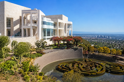
The Getty Center, Los Angeles, California, USA
Perched high in the Santa Monica Mountains above Los Angeles, the Getty Center is much more than a museum. Designed by American architect Richard Meier and opened in 19 [read more.]
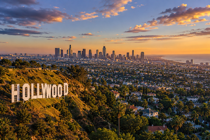
Los Angeles, California, USA
Los Angeles is a city built on movement, creativity, and reinvention. Stretching from the Santa Monica Mountains to the Pacific Ocean, it combines the glamour of Hollyw [read more.]
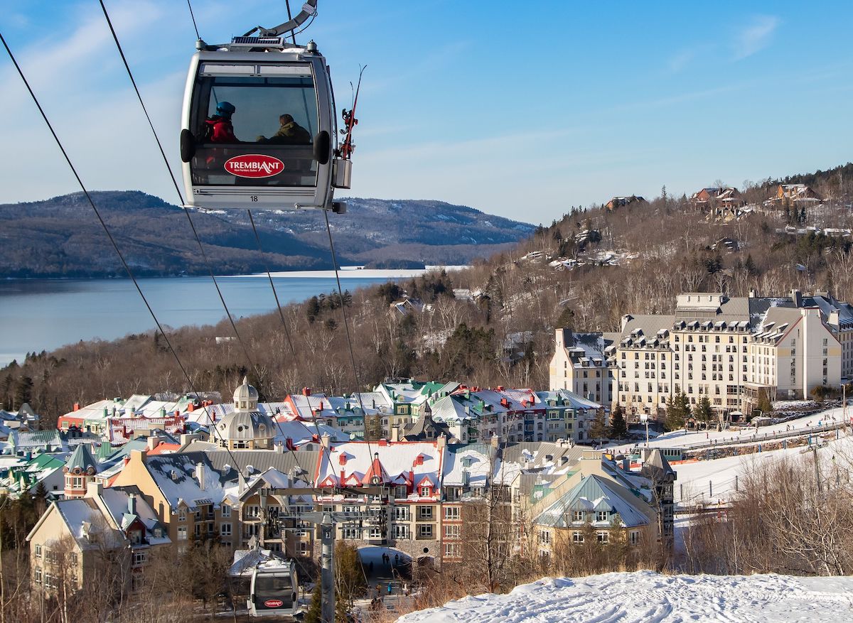
Mont-Tremblant, Canada
Mont-Tremblant, in the province of Quebec, Canada, is a city located in the Laurentian Mountains, about 125 kilometers from Montreal. Although sometimes informally refe [read more.]
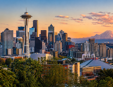
Seattle, Washington, USA
Seattle is a city where water, mountains, forests, and contemporary urban culture come together to create one of the most distinctive destinations on the Pacific Coast. [read more.]
To see more Waypoints in North America, please become a member here.
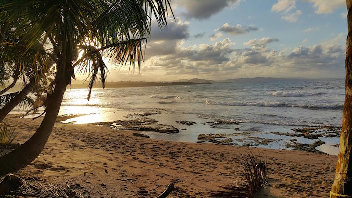
Costa Rica, Lemon
Limón, officially Puerto Limón, is Costa Rica's Caribbean gateway and a city whose identity was shaped as much by migration as by the sea. Christopher Columbus arri [read more.]
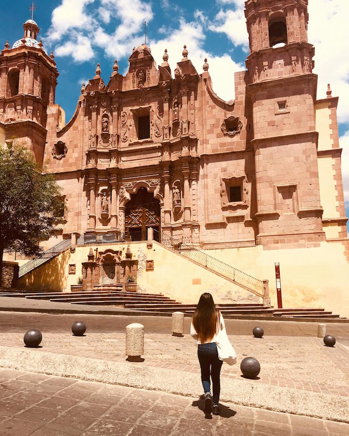
Zacatecas, Mexico
Zacatecas rose from the discovery of rich silver deposits in 1546 to become one of the most prosperous mining centers of New Spain. Built across the steep slopes of a n [read more.]
Guatemala City
Guatemala City sits in the highlands at more than 1,400 meters above sea level, surrounded by volcanoes and built over a landscape that has been inhabited for centuries [read more.]
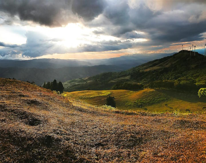
San José, Costa Rica
San José is Costa Rica's capital and the country's main urban, political, economic, and cultural center. Founded in 1737, it grew rapidly during the 19th century a [read more.]
To see more Waypoints in Central America, please become a member here.
Lagoon Quilotoa, Ecuador
Quilotoa is one of Ecuador’s most spectacular high-altitude landscapes: a water-filled volcanic caldera set at approximately 3,914 meters in the Andes of Cotopaxi Pro [read more.]
Sacramento Colony, Uruguay.
Colonia del Sacramento is one of Uruguay’s most atmospheric destinations, a small city on the Río de la Plata where Portuguese and Spanish history survives in street [read more.]
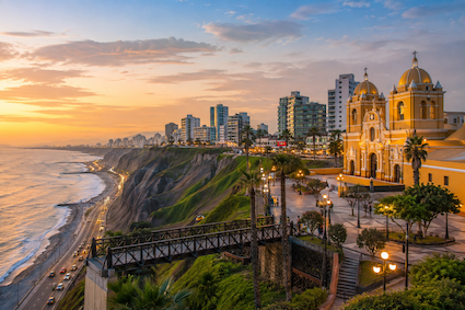
Lima, Perú
Lima is a city where Peru's ancient civilizations, colonial history, Pacific coastline, and contemporary creativity converge. Set along dramatic coastal cliffs overlo [read more.]
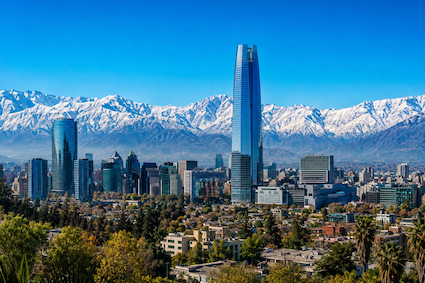
Santiago, Chile
Santiago is a city defined by contrasts: a sophisticated modern capital surrounded by the dramatic peaks of the Andes, a historic center shaped by centuries of Chilean [read more.]
To see more Waypoints in South America, please become a member here.
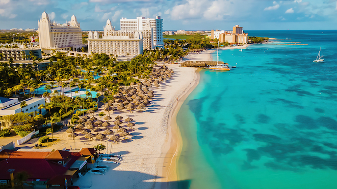
The Bahamas
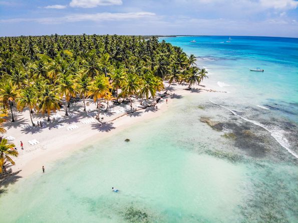
Dominican Republic
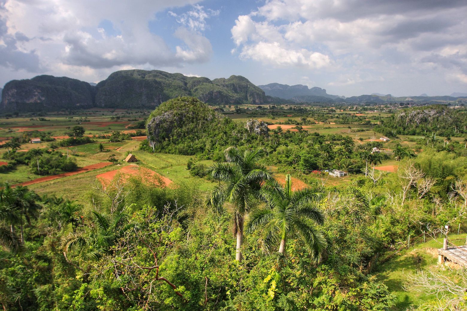
Viñales, Cuba
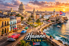
Havana, Cuba
To see more Waypoints in The Caribbean, please become a member here.

|
Waypoint Finder (Over 1,000 destinations in PanAmerica) |
|---|

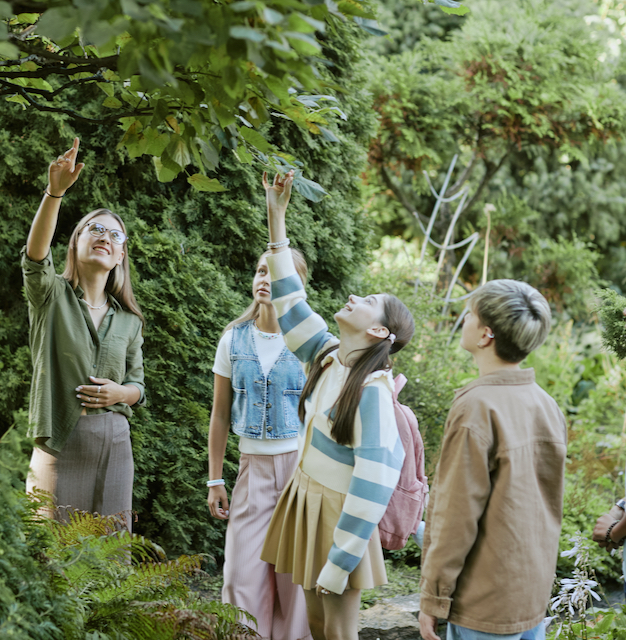
Nature
Tours that connect us with nature.
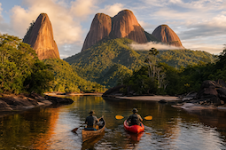
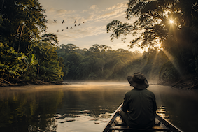
Explore the Tambopata Amazon Reserve
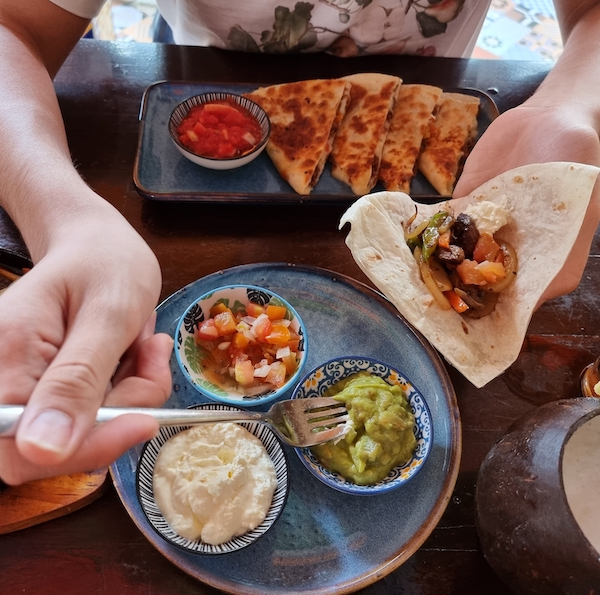
Food & Culture
What's coming up of interest to tourism specialists in Pan America.
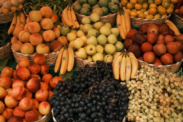
Real City Tours – Exotic Fruits Tour in Medellín, Colombia
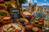
Oaxaca Food & Culture Tour – A Culinary Journey Through Mexico’s Indigenous Flavors
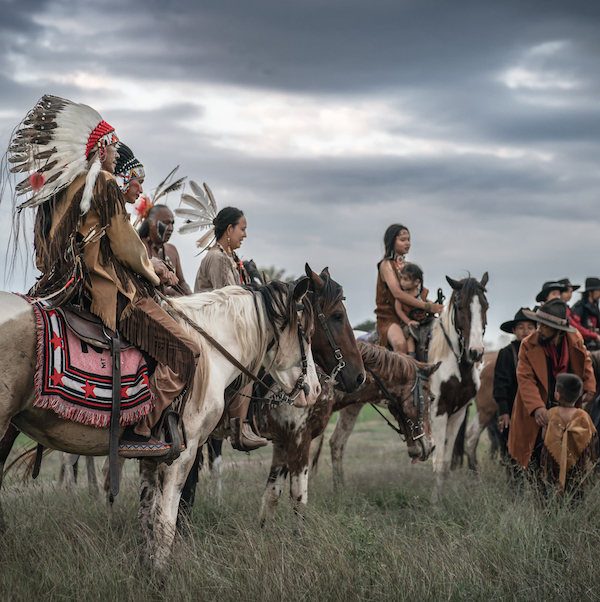
Indigenous Tours
Fashion, romance and wellness for travelers seeking confidence and style.
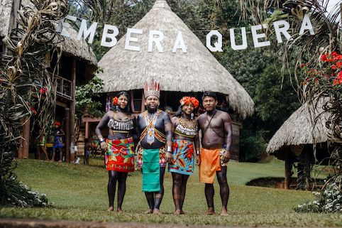
Experience the Emberá of the Darién – On the Only Expedition Operated by An Indigenous Community
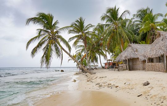
Indigenous Cultural Tour Guna Yala – Discover the Exotic San Blas Islands
Indigenous Canada Tour – Explore First Nations, Inuit And Métis Cultures
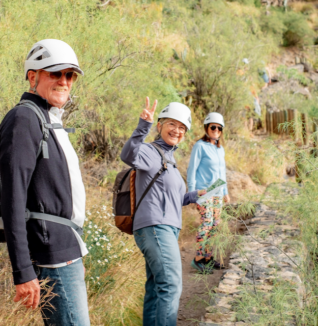
Outdoor Sports
Fashion, romance and wellness for travelers seeking confidence and style.
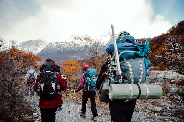
North Patagonia Ice Field Expedition Tour In Chile